


|


For more information about the service of cadastre through VANCA, you may download the information for easy reading or printing by clicking the icon. (Document in Spanish)


REENGINEERING CADASTRE SYSTEM
It's sustained in the following bases:
-Technical support of the valuation of estates made by cadastre, processing the individual values with the appropriate technology and not in the criteria of a third party.
-Informative platform "software" for the processing of technical data of the engineering of valuation correspondent with the technical profile of the estate (individual cadastre account: urban or rural) and not over a zone standard.
-Automatic upgrade of the data base of values in a masasive process considering the individual base for each account.
-Redesign the traditional systems in its procedures and automation resources, looking for a short term turn of the cadastre in a unit that provides multiple services beyond the one by which it was constituted.
-Cadastre will have the capability of making inventory, control and value the patrimonial assets of the city and generate the information that the Federal Accounting of the Federal Government Law requires, according to the guidelines set.
These additional services according to the project, is to transform it in a system of territorial information, estate valuation for different purposes like commercial appraisals, appraisals for the transfer of ownership of property, planning of the use of the land and evaluation of environmental impact.
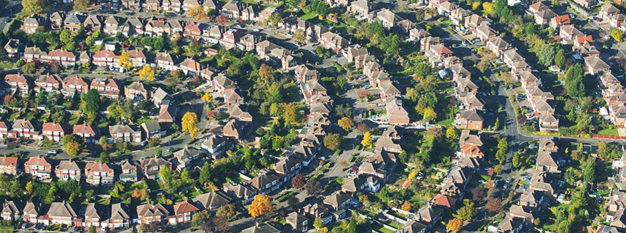
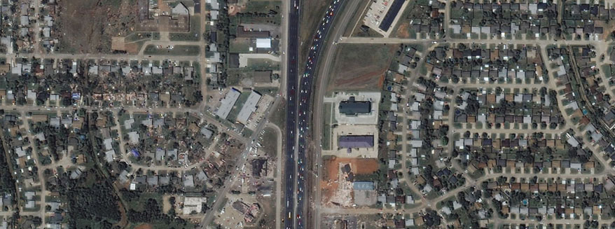
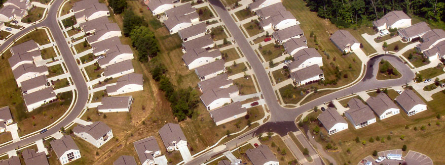
GEOGRAPHIC INFORMATION SYSTEMS
These systems of information are not only automated producers of thematic cartography, even when they comply with this function, they are in reality mechanisms for the structure of information bases linked to the point and moment of the phenomenon or process of interest, so they have become excellent ways information interchange, ideas and a platform for correcting and updating work processes.
They are capable of producing reports in different levels of authorization (level of user) and production of reports to the public (complying with the law of transparence). Methodological development of the geographic information and cadastre automation system.
It's sustained in the following bases:
-Technical support of the valuation of estates made by cadastre, processing the individual values with the appropriate technology and not in the criteria of a third party.
-Informative platform "software" for the processing of technical data of the engineering of valuation correspondent with the technical profile of the estate (individual cadastre account: urban or rural) and not over a zone standard.
-Automatic upgrade of the data base of values in a masasive process considering the individual base for each account.
-Redesign the traditional systems in its procedures and automation resources, looking for a short term turn of the cadastre in a unit that provides multiple services beyond the one by which it was constituted.
-Cadastre will have the capability of making inventory, control and value the patrimonial assets of the city and generate the information that the Federal Accounting of the Federal Government Law requires, according to the guidelines set.
These additional services according to the project, is to transform it in a system of territorial information, estate valuation for different purposes like commercial appraisals, appraisals for the transfer of ownership of property, planning of the use of the land and evaluation of environmental impact.
GEOGRAPHIC INFORMATION SYSTEMS
These systems of information are not only automated producers of thematic cartography, even when they comply with this function, they are in reality mechanisms for the structure of information bases linked to the point and moment of the phenomenon or process of interest, so they have become excellent ways information interchange, ideas and a platform for correcting and updating work processes.
They are capable of producing reports in different levels of authorization (level of user) and production of reports to the public (complying with the law of transparence). Methodological development of the geographic information and cadastre automation system.
